How Using Location Data Can Aid People During Disasters
July 19, 2017
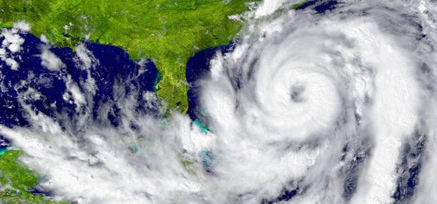
In today’s world of Big Data, with locations and movements always being tracked, there are new ways that data can be helpful and in some cases, even lifesaving. Facebook has started an initiative to provide relief organizations with location data for their users during disasters.
While Facebook already allows users to mark themselves as safe during disasters, they will collect this and other location-based data to present to UNICEF, the International Red Cross and World Food Program in the form of “disaster maps.” Three different types of maps will be created and shared, including: Location Density, Movement, and Safety Check. They will show where people are distributed, whether their location has changed, and where people are clustered in safe areas.
Collecting and using this data can be very helpful during an earthquake, flood or other natural disaster. There’s also a slightly darker side to Big Data collection. What other uses does the collection of location data serve, and could the location data be used for advertising? Even more important: who could have access to this data in the future? When it comes to Big Data, privacy and protection are remain real concerns, even in the face of potentially life-saving applications.


 Liquid Infrastructure: Our Planet's Most Precious Resource
 The Impact of Technology in 2025
 Quantum and AI: Safeguards or Threats to Cybersecurity?
 Why AI Can't Live Without Us
 Bits, Bytes, Buildings and Bridges: Digital-Driven Infrastructure
 Impact of Technology in 2024
 Emerging AI Cybersecurity Challenges and Solutions
 The Skies are Unlimited
 Smart Cities 2030: How Tech is Reshaping Urbanscapes
 Impact of Technology 2023
 Cybersecurity for Life-Changing Innovations
 Smarter Wearables Healthier Life
 Infrastructure In Motion
 The Impact of Tech in 2022 and Beyond
 Cybersecurity, Technology and Protecting Our World
 How Technology Helps us Understand Our Health and Wellness
 The Resilience of Humanity
 Harnessing and Sustaining our Natural Resources
 Creating Healthy Spaces Through Technology
 Exceptional Infrastructure Challenges, Technology and Humanity
 The Global Impact of IEEE's 802 Standards
 Scenes of our Cyber Lives: The Security Threats and Technology Solutions Protecting Us
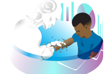 How Millennial Parents are Embracing Health and Wellness Technologies for Their Generation Alpha Kids
 Space Exploration, Technology and Our Lives
 Global Innovation and the Environment
 How Technology, Privacy and Security are Changing Each Other (And Us)
 Find us in booth 31506, LVCC South Hall 3 and experience the Technology Moon Walk
 Virtual and Mixed Reality
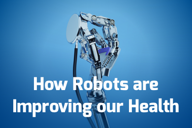 How Robots are Improving our Health
 IEEE Experts and the Robots They are Teaching
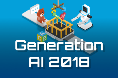 See how millennial parents around the world see AI impacting the lives of their tech-infused offspring
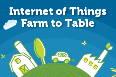 Take the journey from farm to table and learn how IoT will help us reach the rising demand for food production
 Watch technical experts discuss the latest cyber threats
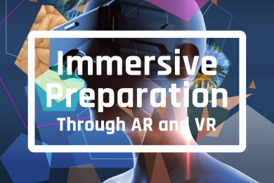 Explore how researchers, teachers, explorers, healthcare and medical professionals use immersive technologies
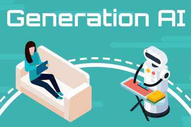 Follow the timeline to see how Generation AI will be impacted by technology
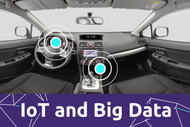 Learn how your IoT data can be used by experiencing a day in a connected life
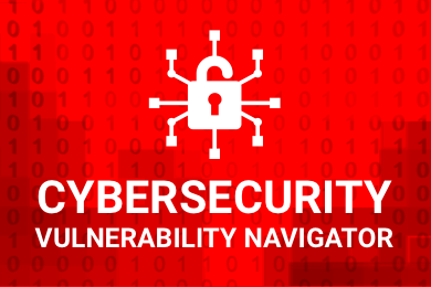 Listen to technical experts discuss the biggest security threats today
 See how tech has influenced and evolved with the Games
 Enter our virtual home to explore the IoT (Internet of Things) technologies
 Explore an interactive map showcasing exciting innovations in robotics
 Interactively explore A.I. in recent Hollywood movies
 Get immersed in technologies that will improve patients' lives