How Remote Sensing is Monitoring Our Arctic Waters and Glaciers
May 10, 2021
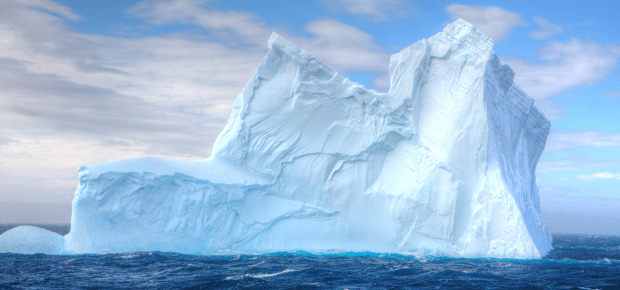
Monitoring our arctic waters and glaciers is crucial for establishing a greater understanding of global climate changes. Technologies such as remote sensing and geographic information systems are helping us to better analyze and research the changing water levels and what that means for us in the future.
IEEE Oceanic Engineering Society member Siri Jodha Khalsa is a research scientist at the National Snow and Ice Data Center and specializes in remote sensing and geographic information systems, client interface and metadata, data tool development and algorithm support. He shares his insights on remote sensing for arctic waters.
See also What to Know About Oceanic Engineering and the Marine Robots They Work With
IEEE: Why is it important to research water levels in the Arctic? What do glaciers tell us about the current state of our climate?
Siri Jodha Khalsa: Glaciers are indicators of climate because they respond to long-term trends in temperature, humidity and precipitation. Globally, glaciers have been in retreat for decades, although a few glaciers go through cycles which include a “surging” stage of advancement. Glaciers represent an important water storage mechanism in many parts of the world and their disappearance would have major impacts on the livelihoods of people living downstream.
IEEE: Can you explain how remote sensing and geographic information systems are being used to monitor glaciers and arctic ocean levels? Why are they more beneficial than other technologies?
SJK: Remote sensing is vital for monitoring conditions in the Arctic due to its inaccessibility and the harshness of the operating environment. Satellite-based remote sensing is one of the most commonly used techniques and has many advantages.
The existence of polar night, when there is no illumination of the surface by the sun, and frequent clouds mean that instruments sensing in the visible range, such as the moderate-resolution imaging spectroradiometer (MODIS) and Landsat, are limited in what they can observe. Sensors using microwave frequencies, such as Special Sensor Microwave/Imager
(SSM/I), advancing microwave scanning radiometer (AMSR) and RadarSat are most often used for monitoring the Arctic ocean, especially sea ice.
The monitoring of glaciers, in particular those that drain the ice sheets covering Greenland and Antarctica, has become a topic of great interest due to their potential to contribute to large increases in sea level. Missions carrying airborne and spaceborne sensors are regularly monitoring these outlet glaciers using remote sensing technologies, while projects like the Global Land Ice Measurements from Space are routinely cataloging the boundaries and other characteristics of glaciers worldwide.
IEEE: Can you further explain how data products such as the MODIS and the AMSR are being used in the field?
SJK: NASA’s two MODIS instruments, and similar sensors on NOAA (VIIRS) and Sentinel (OLCI) polar-orbiting spacecraft, are important for monitoring surface conditions globally because their wide viewing swath and moderate spatial resolution mean they can observe and record data for nearly every place on earth on a daily basis.
IEEE: How has IEEE’s Oceanic Engineering Society helped you understand your work better? And what exciting OES projects are coming up soon?
SJK: OES is involved in a global effort towards improving the reach of ocean sciences. Personally, OES has helped me place my work in a larger context by acquainting me with the applied aspects of remote sensing technologies in the Arctic, and by allowing me to network with other experts in the field who work on related technologies.
Apart from its flagship OCEANS conference, OES holds two conferences specifically focusing on technologies and research for monitoring polar environments – the Antarctic and Southern Ocean Forum (ASOF) and the Arctic and Northern Ocean forum (ANOF).


 The Impact of Tech in 2026
 Meaningful Momentum or Running in Place?
 AI Through Our Ages
 Liquid Infrastructure: Our Planet's Most Precious Resource
 The Impact of Technology in 2025
 Quantum and AI: Safeguards or Threats to Cybersecurity?
 Why AI Can't Live Without Us
 Bits, Bytes, Buildings and Bridges: Digital-Driven Infrastructure
 Impact of Technology in 2024
 Emerging AI Cybersecurity Challenges and Solutions
 The Skies are Unlimited
 Smart Cities 2030: How Tech is Reshaping Urbanscapes
 Impact of Technology 2023
 Cybersecurity for Life-Changing Innovations
 Smarter Wearables Healthier Life
 Infrastructure In Motion
 The Impact of Tech in 2022 and Beyond
 Cybersecurity, Technology and Protecting Our World
 How Technology Helps us Understand Our Health and Wellness
 The Resilience of Humanity
 Harnessing and Sustaining our Natural Resources
 Creating Healthy Spaces Through Technology
 Exceptional Infrastructure Challenges, Technology and Humanity
 The Global Impact of IEEE's 802 Standards
 Scenes of our Cyber Lives: The Security Threats and Technology Solutions Protecting Us
 How Millennial Parents are Embracing Health and Wellness Technologies for Their Generation Alpha Kids
 Space Exploration, Technology and Our Lives
 Global Innovation and the Environment
 How Technology, Privacy and Security are Changing Each Other (And Us)
 Find us in booth 31506, LVCC South Hall 3 and experience the Technology Moon Walk
 Virtual and Mixed Reality
 How Robots are Improving our Health
 IEEE Experts and the Robots They are Teaching
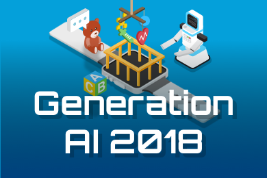 See how millennial parents around the world see AI impacting the lives of their tech-infused offspring
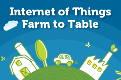 Take the journey from farm to table and learn how IoT will help us reach the rising demand for food production
 Watch technical experts discuss the latest cyber threats
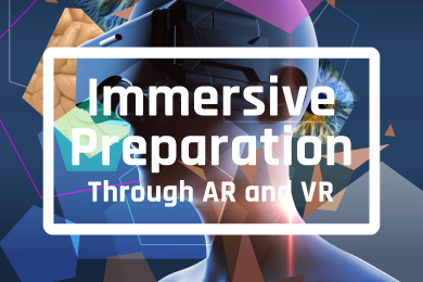 Explore how researchers, teachers, explorers, healthcare and medical professionals use immersive technologies
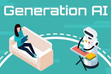 Follow the timeline to see how Generation AI will be impacted by technology
 Learn how your IoT data can be used by experiencing a day in a connected life
 Listen to technical experts discuss the biggest security threats today
 See how tech has influenced and evolved with the Games
 Enter our virtual home to explore the IoT (Internet of Things) technologies
 Explore an interactive map showcasing exciting innovations in robotics
 Interactively explore A.I. in recent Hollywood movies
 Get immersed in technologies that will improve patients' lives