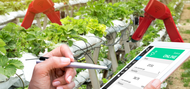
IoT Sensors in Agriculture: An Interview with Adam Drobot
May 7, 2018
There’s a common misconception that farms are simple places. While that’s never particularly been the case, modern agriculture is impressively complex and technologically sophisticated, and is becoming more so with the introduction of a wide array of sensors. We talked with Adam Drobot, IEEE Senior member and Chair of the IEEE Internet of Things Activities Board about the types of sensors being incorporated into farms, how they’ve come into existence, and where sensing is headed in the next few years.
IEEE: What is “crop field sensing,” and how does it work?
Adam: The sensors we have today (whether video, hyperspectral or infrared) allow us to understand many of the conditions of plants in the field. The sensors can be based on different platforms, from satellites and high altitude aircraft to smaller drones that are flown and controlled locally, to permanent sensors mounted on structures that overlook the field. The data from these sensors is used to understand the spatially-resolved field conditions and how the crop is progressing. Interpreting sensor data and the spatial distribution can be used to determine how the field should be managed to achieve the best yields, and where and when to harvest the crops.
IEEE: What types of sensors will we be seeing on plants in the future?
Adam: Miniaturized integrated sensors that are low-cost and can be placed on individual plants is one direction we could see. It all depends on how the cost can be reduced enough to match the economics of farming.
IEEE: What are the key technological advancements that would allow for the creation of cheap, miniature sensors?
Adam: The use of basic components from consumer electronics where large markets drive economies of scale. The best examples are cheap cameras that now cost a few dollars because of smartphone production volumes, accelerometers from MEMS technologies, and other developments that come from system-on-a-chip (SOC) design and manufacturing techniques.
IEEE: What role do satellites play in assessing the condition of plants?
Adam: Two roles: An increasing number of satellites use high resolution sensors – both optical and hyperspectral – to improve techniques for interpreting sounding data. There are also many more low Earth orbit (LOE) satellites, whose arrays provide much better coverage, both geographically and in field re-visit rates. The second role is as communications relays for ground sensors in sparsely-populated and under-resourced areas.
IEEE: What role do drones play in assessing the condition of plants?
Adam: Great potential – they’re just getting started. Because they can get right to where the action is, drones can be used to fly instruments that would not fit or work on satellites. An example is acoustic sensors used to identify pests and animals, data that’s not possible to gather from satellites. A drone can also pick up a soil or plant sample that a satellite cannot.
To learn more about the IoT’s role in agriculture, check out our latest hot topic. There’s also an IEEE Internet of Things Initiative that regularly discusses similar topics. They’re hosting a Vertical and Topical Summit on Agriculture this week in Tuscany, Italy, which will cover the whole agricultural life cycle – from growth, to processing, to distribution, retailing and consumption of food products – featuring experts and leaders from all over the world.


 Liquid Infrastructure: Our Planet's Most Precious Resource
 The Impact of Technology in 2025
 Quantum and AI: Safeguards or Threats to Cybersecurity?
 Why AI Can't Live Without Us
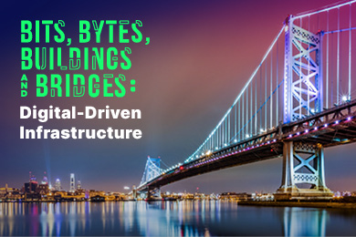 Bits, Bytes, Buildings and Bridges: Digital-Driven Infrastructure
 Impact of Technology in 2024
 Emerging AI Cybersecurity Challenges and Solutions
 The Skies are Unlimited
 Smart Cities 2030: How Tech is Reshaping Urbanscapes
 Impact of Technology 2023
 Cybersecurity for Life-Changing Innovations
 Smarter Wearables Healthier Life
 Infrastructure In Motion
 The Impact of Tech in 2022 and Beyond
 Cybersecurity, Technology and Protecting Our World
 How Technology Helps us Understand Our Health and Wellness
 The Resilience of Humanity
 Harnessing and Sustaining our Natural Resources
 Creating Healthy Spaces Through Technology
 Exceptional Infrastructure Challenges, Technology and Humanity
 The Global Impact of IEEE's 802 Standards
 Scenes of our Cyber Lives: The Security Threats and Technology Solutions Protecting Us
 How Millennial Parents are Embracing Health and Wellness Technologies for Their Generation Alpha Kids
 Space Exploration, Technology and Our Lives
 Global Innovation and the Environment
 How Technology, Privacy and Security are Changing Each Other (And Us)
 Find us in booth 31506, LVCC South Hall 3 and experience the Technology Moon Walk
 Virtual and Mixed Reality
 How Robots are Improving our Health
 IEEE Experts and the Robots They are Teaching
 See how millennial parents around the world see AI impacting the lives of their tech-infused offspring
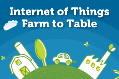 Take the journey from farm to table and learn how IoT will help us reach the rising demand for food production
 Watch technical experts discuss the latest cyber threats
 Explore how researchers, teachers, explorers, healthcare and medical professionals use immersive technologies
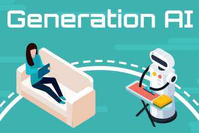 Follow the timeline to see how Generation AI will be impacted by technology
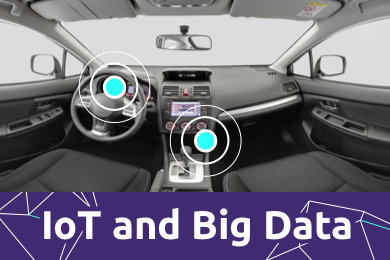 Learn how your IoT data can be used by experiencing a day in a connected life
 Listen to technical experts discuss the biggest security threats today
 See how tech has influenced and evolved with the Games
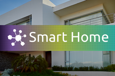 Enter our virtual home to explore the IoT (Internet of Things) technologies
 Explore an interactive map showcasing exciting innovations in robotics
 Interactively explore A.I. in recent Hollywood movies
 Get immersed in technologies that will improve patients' lives